Wilderness Trail Luxury Homes and Golf Course
Banner Elk, North Carolina |
| |
|
Wilderness Trail was an ambitious 1,000-acre luxury resort community developed by Astro Investment Group in the mountains of western North Carolina. Designed as a destination for both sports enthusiasts and families, the master-planned community included custom homes, townhomes, furnished cottages, a championship Fazio-Robbins golf course, extensive hiking trails, and a family-oriented sporting complex.
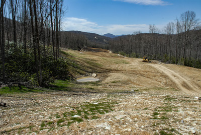
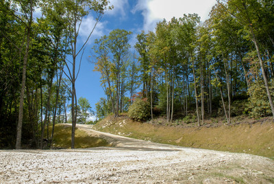
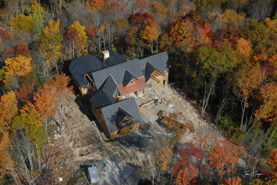
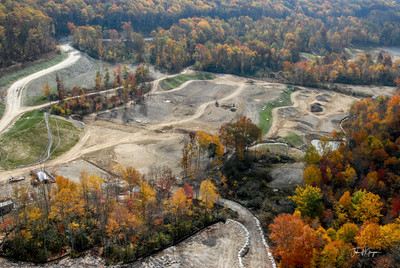
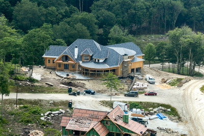
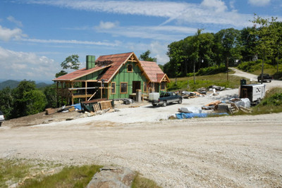
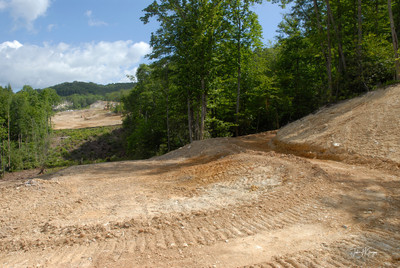
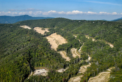
The scale and complexity of the project required comprehensive photographic documentation throughout the development process. Over a period of approximately two and a half years, I provided scheduled ground photography on a monthly basis, combined with aerial photography every other month and additional flights as needed to document major construction milestones and benchmark progress.
The combination of aerial and ground-level imagery allowed project stakeholders to monitor development across the expansive property while maintaining detailed visual records of individual construction phases. Images were delivered digitally, providing management and development teams with timely documentation throughout the life of the project.
|
|
|
|
When the assignment began, I was based in Banner Elk, North Carolina. Following my relocation to the Greater Atlanta area, I continued servicing the project by traveling to western North Carolina each month until my portion of the assignment was completed. Maintaining a consistent photographic record over multiple years ensured that project managers could accurately track progress and compare development milestones throughout the construction cycle.
The mountainous terrain presented unique challenges for aerial photography. Due to the elevation and environmental conditions, a piston-powered helicopter was not recommended. Instead, aerial photography was conducted from a Bell 206B JetRanger helicopter operating from nearby Butler, Tennessee. The aircraft provided the performance and reliability needed to safely photograph the project while capturing the expansive views necessary to document a development of this size.
Projects such as Wilderness Trail demonstrate the value of combining aerial photography, ground-level documentation, and long-term project consistency. The resulting imagery provided developers with a comprehensive visual history of the community's transformation from raw land into a premier resort destination in the mountains of western North Carolina.
|
| |
|
© Copyright 2026, John H Grogan